Relieve these 4 real estate headaches with LandCentral
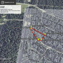
Real Estate Can Be a Headache LandCentral understands these pain points and works to help ease them by removing complicated roadblocks. Check out these four areas below where LandCentral has streamlined the process, making buying land easy and simple for …
